


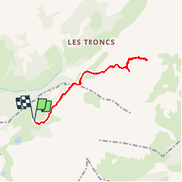


11.9 km | 19.7 km-effort

User


FREE GPS app for hiking
 SityTrail
IGN / Geographical institutes
SityTrail World
The world is yours!
Trail Walking of 14 km to be discovered at Auvergne-Rhône-Alpes, Upper Savoy, La Clusaz. This trail is proposed by tracegps.
Mont Charvet, en partant des Confins. Ne pas monter au Mt Charvet par la combe du même nom; au contraire, dépasser la combe du Mt Charvet en suivant les points rouges, puis monter par derrière. Notre itinéraire est moins dangereux que celui montant au sommet par la combe du Mt Charver indiqué sur certaines cartes.


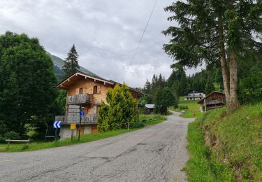
Walking
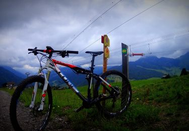
Mountain bike
Mountain bike
Mountain bike
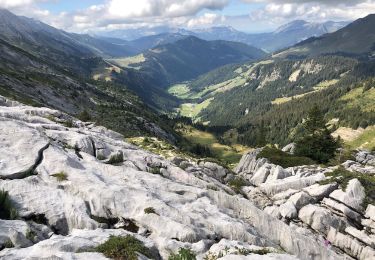
Walking
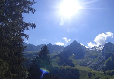
Walking
Mountain bike

Walking

Walking